Every place you have been, filled in.
Pick a map. Tap the states, counties or countries you have set foot in. Watch it fill, count up, and turn into something worth printing.
Free. An account is a name, an email address and a password. No payments and no ads.
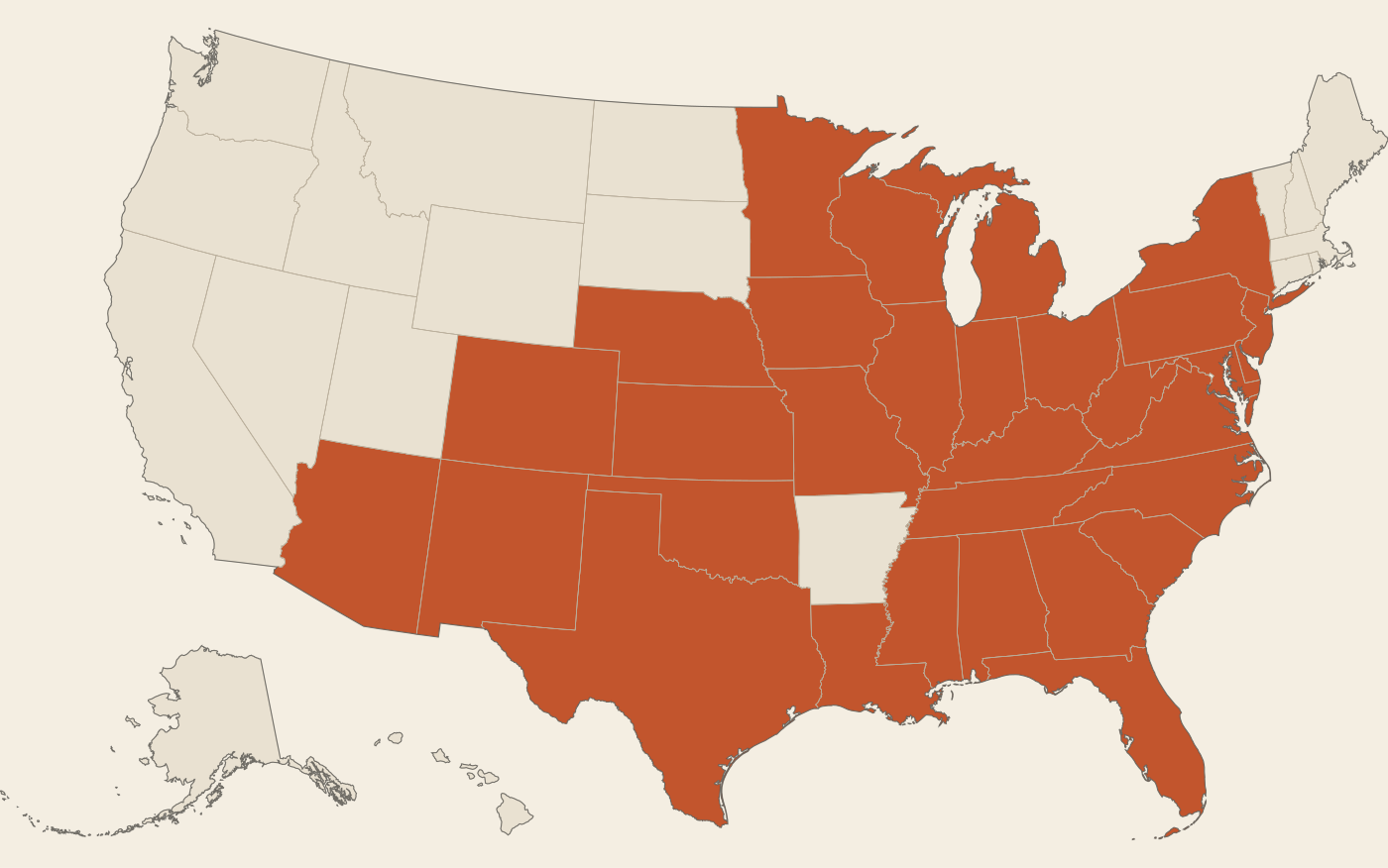
Tap a state. Nothing here is saved.
31 of 50states
62%
A sample fill. Hover a state for its name.
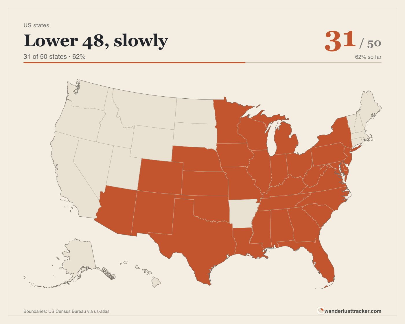
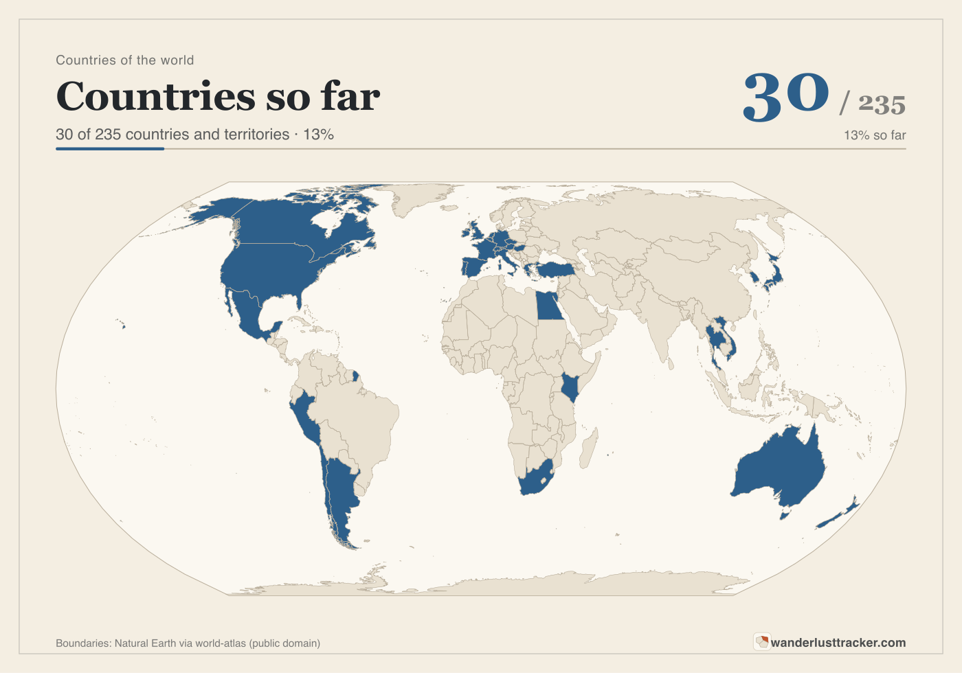
Three finished maps
These are sample fills and describe nobody's actual travels. Each download carries the title, the count and a small site mark, ready to print.
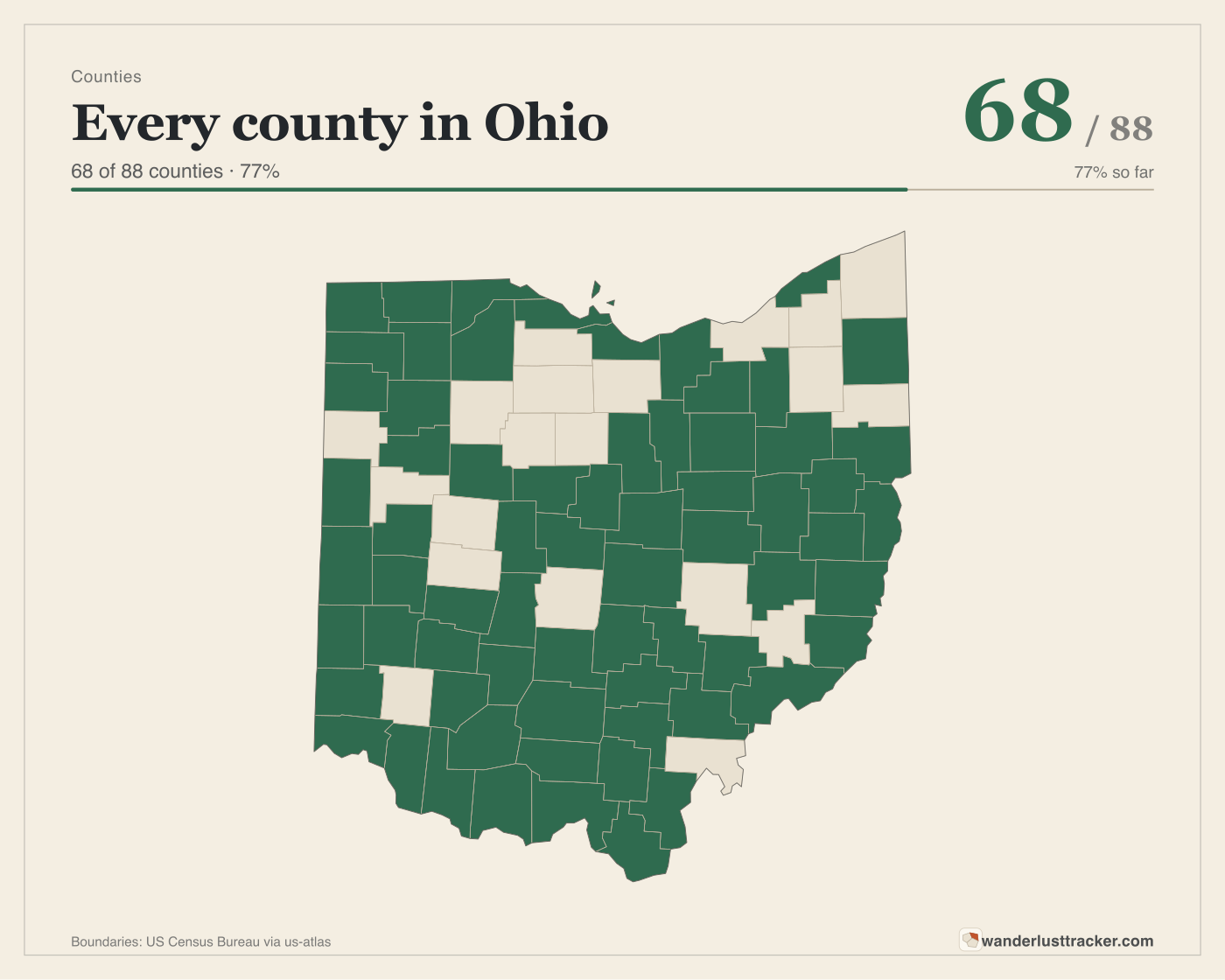
Counties are the point.
Most visited-places maps stop at states. This one has a map for the counties of a single state and another for all 3,142 counties and county equivalents in the country, because the person who built it is trying to visit every one.
Small counties are hard to tap on a phone, so county maps zoom and pan, the search box toggles a county by name, and a plain list with checkboxes works with a keyboard or a screen reader.
Four kinds of map
US states. Countries of the world. The counties of one state. Every US county. Keep as many maps as you like, of any kind.
Tap, search or tick
Click or tap a region to fill it. Type a name to find a tiny county. Or open the list and tick boxes. Add a date and a note if you want them.
Download or share
Save the map as SVG or PNG with its title and count. Maps are private unless you turn on a share link, which anyone can view but nobody can edit.